
Palm Springs Neighbors by Block Source
A Palm Springs neighbor lookup should identify the source before it names the fact. Riverside GIS shows parcel geometry and overlays. The assessor office is the ownership channel. The recorder shows instruments for known parties and legal descriptions. Voter data has a qualified-purpose gate. The city’s ONE-PS map identifies recognized neighborhood organizations. Historic directories can show past households when a reverse section exists.
| Source | What It Shows About a Block | Access |
|---|---|---|
| Map My County | Adjacent APNs, parcel geometry, districts, ZIP, zoning, permits and cases | Free viewer; identify and buffer |
| Riverside ACR assessor | Permitted public ownership-roll inspection and situs/mailing distinction | Address/APN web; office roll |
| Riverside Recorder | Deeds and liens for known parties or legal descriptions | Party and document index; no radius search |
| California voter file | Limited registration fields for an approved purpose | Qualified request only |
| ONE-PS neighborhood map | Recognized civic area and public representative contact | City map; no member directory |
These sources can place parcels around an address, but they do not reveal every person on the block. An owner is not automatically an occupant, a mailing address is not a household, and a public representative is not a membership roster.
Adjacent Palm Springs Parcels in GIS
Map My County is the strongest block-scale tool in the research. Its layers include address points and house numbers, APNs and parcels, city and county boundaries, census tracts, environmental-justice communities, supervisor districts, spheres of influence, proposed and historic annexations, communities, flood and tribal geography, schools and water districts, ZIPs, and commercial, residential, historic, building, code, fire, planning, survey, and transportation cases.
The public parcel layer exposes APN and parcel flags rather than owner names. A selected parcel may route a researcher to ACR for property detail. The map updates weekdays and caps a query or selection at 2,000 records. A block lookup should therefore keep the visible APNs and layer names, not claim a full result beyond the selected map.
The California privacy-regulations source is the manifest link captured for the Palm Springs neighbors privacy layer.
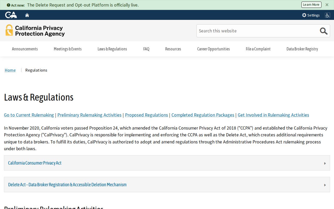
Privacy rules and parcel layers meet at the boundary between public geography and protected personal detail.
Click, Identify, and Buffer Palm Springs Parcels
The adjacent-parcel method is a spatial process. It selects the surrounding land first, then routes each APN to the proper custodian. The buffer does not measure a resident radius and should not be described as a people-search tool.
- Search or zoom to the target address in Map My County and turn on address points and parcels.
- Identify the target polygon and write down the APN, parcel flag, visible address, and relevant layer names.
- Click each touching polygon or draw a small buffer, keeping the selected layer identifiable.
- Use the APNs for assessor-office inspection one parcel at a time when a permitted ownership fact is needed.
- Use the recorder only after a known party or legal description is available, then keep the full street chain separate.
For the full named-street method, switch to the Palm Springs street directory walkthrough. The neighbors page owns the immediate block and civic layer, not an entire street’s party chain.
APNs to the Assessor Counter
Riverside ACR’s public web tools are address and APN oriented. Owner names are not displayed online, and the assessor’s ownership roll is an office channel under Revenue and Taxation Code section 408. The clean block worksheet has one row per APN, with separate columns for situs, owner mailing address, source date, and the fact actually viewed.
A matching mailing and situs address can support a cautious owner-occupancy inference. It does not establish every household member or prove that a person is present on the day of the search. A property held by a trust or LLC may also prevent a direct human connection. The negative result is part of the record.
The tax collector can add tax-default, sale, APN, situs, legal-description, and amount data. That layer concerns tax status, not neighbors. Use the custodian that actually maintains the fact.
Mapping a Palm Springs Block: Owners
Once the adjacent APNs are known, compare the visible parcel geometry with the permitted assessor roll and recorded instruments. The process can reveal that one block includes several land regimes or a city and ZIP overlay that do not align. Agua Caliente checkerboard geography includes Tribal Trust, Allotted Trust, and fee land. A Palm Springs neighbor lookup should retain that land-status distinction instead of flattening the block into one jurisdiction.
- Parcel
- Mapped land unit identified by APN and geometry.
- Situs
- Physical location of the parcel.
- Mailing
- Where owner correspondence is directed; not a household roster.
- Owner
- Recorded or assessed ownership fact as of a specified date.
- Occupant
- A person supported by a contemporaneous directory, census, or other source, not merely by title.
Keep the map, roll, and instrument as separate evidence. A block’s geometry can be public while the personal details behind it remain restricted.
Fifty-Two Palm Springs Neighborhood Organizations
The City’s Office of Neighborhoods recognizes 52 groups through ONE-PS. The official examples include Andreas Hills, Araby Cove and Commons, Deepwell Estates, Desert Highland Gateway Estates, El Mirador, Historic Tennis Club, Indian Canyons, Movie Colony, Old Las Palmas, Racquet Club Estates, Sunmor, Twin Palms, Vista Las Palmas, and Warm Sands. Recognition began in April 2005.
| Public Civic Layer | What It Can Add | What It Cannot Supply |
|---|---|---|
| ONE-PS map | Recognized organization or neighborhood boundary | Current household or member roster |
| Voting representative | Public civic contact for each group and alternate | Permission to publish membership |
| ONE-PS Guide | Neighborhood history and place context | Current resident identity |
| RA label | Property not currently in an organized neighborhood | Proof of isolation or occupancy |
Denise Goolsby is listed as the ONE-PS contact at denise.goolsby@palmspringsca.gov and 760-323-8255. Each group supplies one voting representative and an alternate. The official pages do not establish a public member directory.
ONE-PS Representatives Are Not Member Lists
The ONE-PS neighborhood guide is a civic and historical source. It was placed in a time capsule to open in 2042, which makes it an unusual Palm Springs local-history artifact. It can explain why a block belongs to a named area, but it cannot identify current neighbors. A public officer’s name and contact are for civic communication, not a proxy for every household.
Use the official Palm Springs neighborhood inventory to identify the recognized area, then keep the result at the organizational level. If a property carries the RA label, retain that negative result rather than assigning it to the nearest named group.
Voter File Rules for Palm Springs Neighbors
California My Voter Status is an identity-gated self-check requiring name, date of birth, and a driver license or ID number or SSN4. It can show the requester’s own registration address and status, party preference, language, vote-by-mail or provisional status, polling place, and future election details. It is not an anonymous block search.
A full voter file is available only to qualified requesters for election, scholarly, journalistic, political, or governmental purposes under Elections Code section 2194 and 2 CCR sections 19001 through 19013. The statewide file costs $100; a specific-voter request costs $30 each within the stated limit and requires purpose, identity, fields, geography, security promises, and payment. A curiosity-based Palm Springs neighbors lookup is not a qualifying purpose.
The California voter-file request rules are the manifest source for the block-level access boundary.
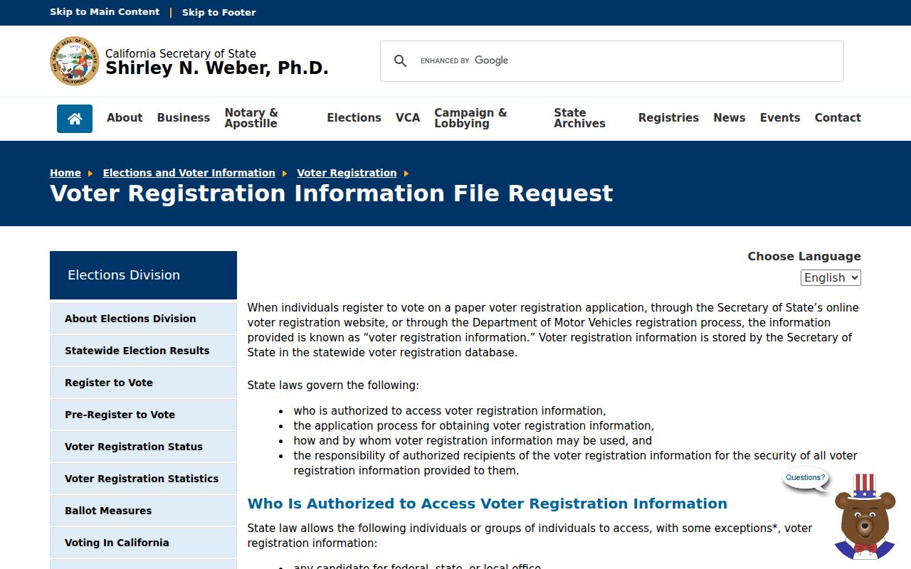
Approved voter-file access remains purpose-bound and cannot be republished as a neighborhood roster.
DROP and California Privacy Choices
California’s CCPA and CPRA framework gives covered consumers rights to know, delete, correct, opt out of sale or sharing, and limit certain sensitive-data uses, subject to exceptions. The Delete Act created DROP. Since January 1, 2026, a California resident can send one request through the state data-broker portal. Beginning August 1, 2026, brokers must retrieve and process batches at least every 45 days, delete matching nonexempt data and covered inferences, report status within 45 days, and maintain suppression.
The California DROP data-broker portal is the manifest source for the current privacy route.
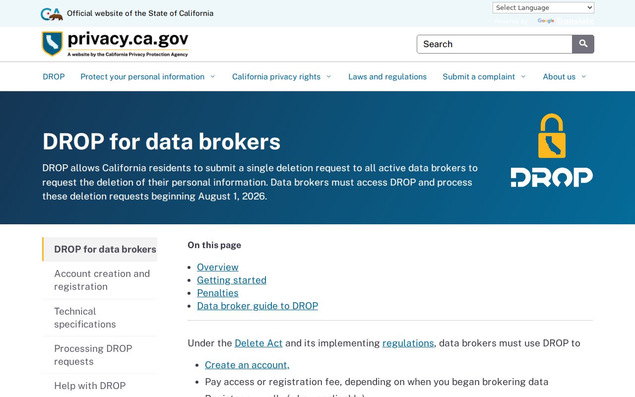
A deletion request for commercial data does not erase a county deed, a city permit, or a protected government record.
Safe at Home supplies a substitute address, confidential voter process, confidential name-change route, and DMV suppression for qualifying participants. It does not erase old public records. A missing neighbor name can be a confidentiality result, not evidence of absence.
Official Rolls Versus Commercial Neighbor Tools
A category comparison helps explain why a Palm Springs neighbor lookup should start with a custodian. Official sources have a defined keeper, record type, date, and access rule. Commercial tools may combine public and licensed data, charge recurring fees, merge same-name people, or preserve stale addresses. They are not a substitute for the office that created the record.
| Source Category | Strength | Limit |
|---|---|---|
| County GIS | Adjacent parcel geometry and public layers | No resident or owner field in the public parcel layer |
| Assessor office | Permitted ownership-roll inspection | Not a complete household list |
| Recorder index | Recorded instruments for known parties | No direct address-radius search |
| Commercial data category | May combine many data types in one interface | Cost, stale data, mixed identities, and no custodian authority |
Privacy Limits on Palm Springs Neighbor Lookups
Many household members, utility customers, delivery recipients, confidential voters, Safe at Home participants, protected officials, and DMV addresses are not available through a general block search. A person can also be behind an LLC, trust, or other recorded party. The absence of a public name is therefore a limit of the source, not a conclusion about the block.
Lawful use. Palm Springs neighbor research is for getting to know a civic area, reconnecting, family history, property curiosity, and personal safety awareness. Do not use records to watch, stalk, harass, intimidate, or harm anyone.
Keep a map date, APN, source link, and scope statement. If a question grows from the immediate block to a whole street, use the street-level chain. If it becomes a one-person question, use the narrower custodian path instead of expanding the search.